ABLS Meeting 2007 Xalapa,México |  | ||
Home Meeting Facilities Schedule Abstracts Field Trips Photo Galleries Getting to Xalapa Main Hotel FIELD TRIPS | |||
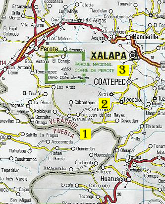
Scroll down to see map with locations for all Field Trips. | ||
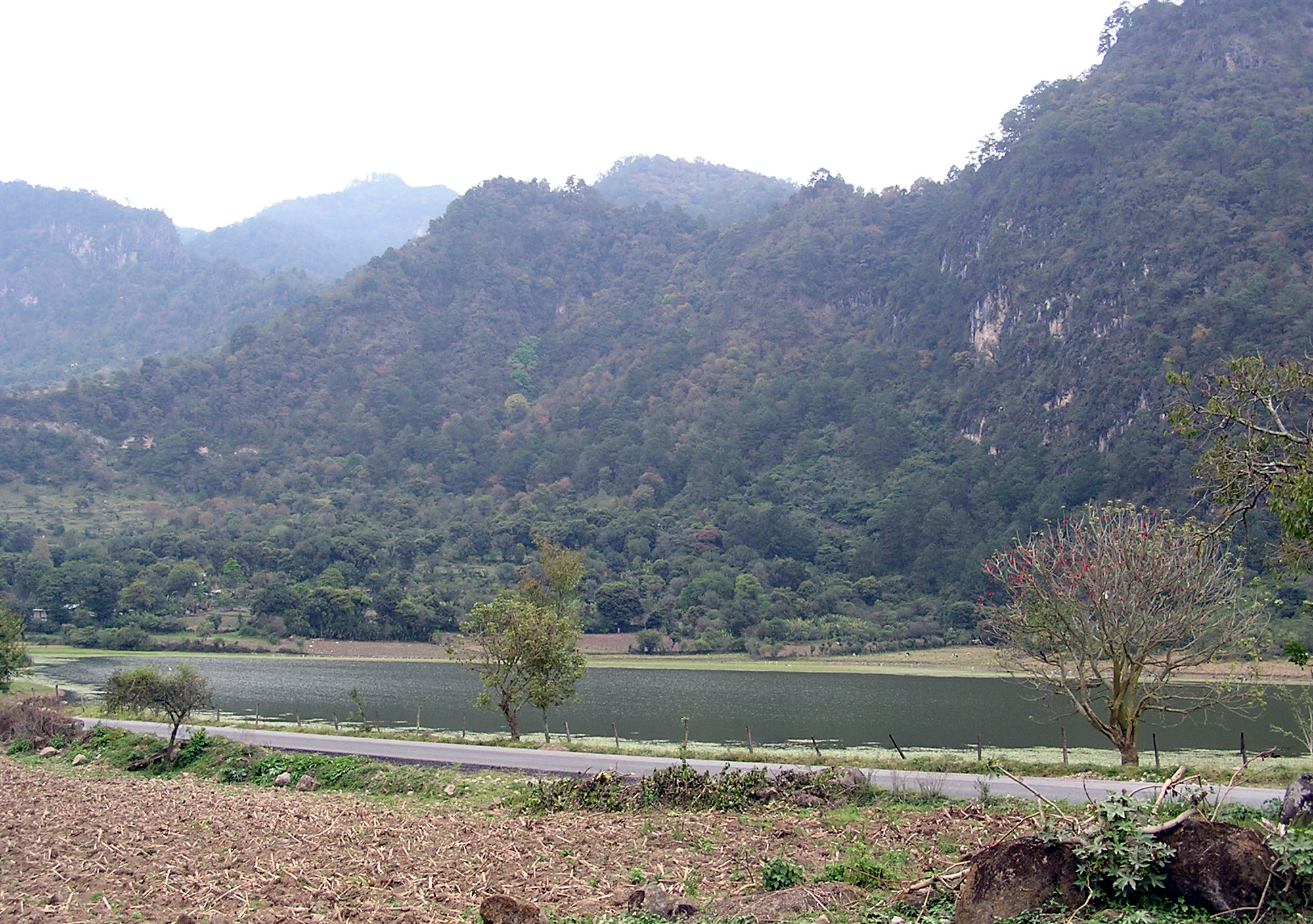
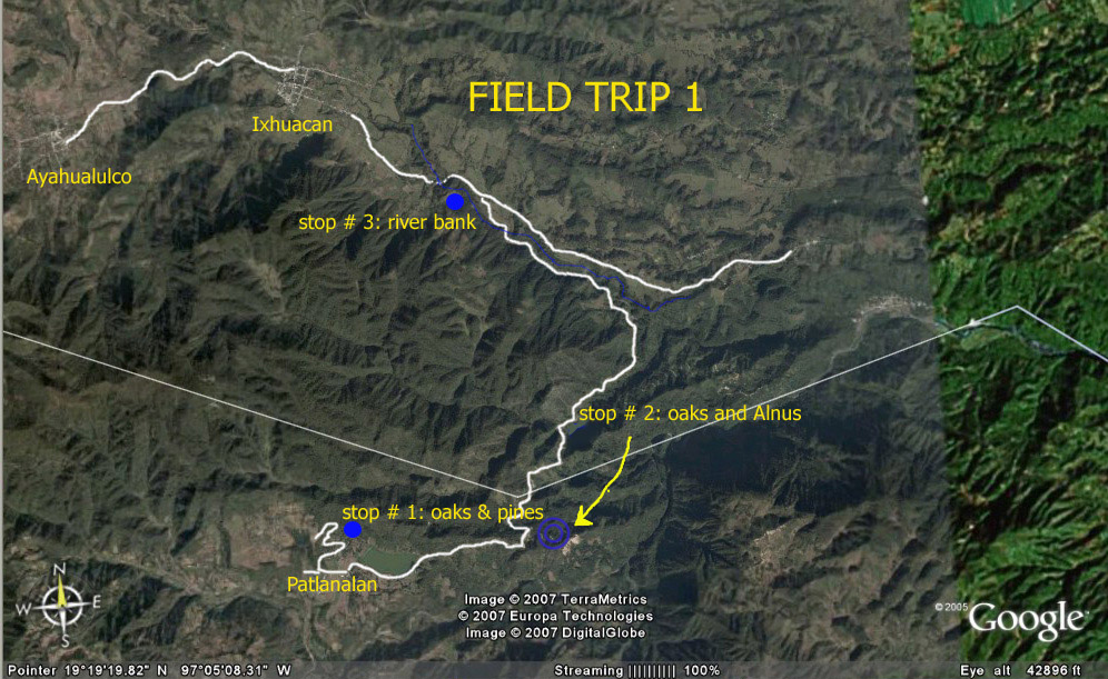
FT1. Patlanalan lake. Tuesday. 14 August 2007 | ||
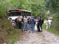
This full day trip was up to the mountains between Pico de Orizaba and Cofre de Perote volcanoes.
We traveled by bus to localities between towns of Ixhuacan and Patlanalan. Route was state road south of Xalapa towards Coatepec, passing through Teocelo. Three stops were made, in a variety of habitats.
Locality data for herbarium specimens map
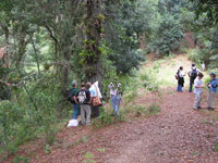
Site #1, State: Puebla. Municipality: Quimixtllan. Locality: Hillside northwest of Patlanalan lake. Vegetation: Mixed pine-oak forest on a south facing slope. 19°17.941'N, 97°07.156'W Elevation: ca. 5700 ft.
Site # 2, State: Puebla. Municipality: Quimixtllan Locality: ca. 1.7 km east of Lake Patlanalan; between towns of Patlanalan and Ixhuacan Vegetation: mixed alder (Alnus jorullensis) and oak stands just off highway along a side road. 19°17.938'N, 97°05.453'W Elevation: ca. 5400 ft.
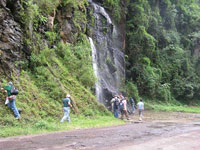
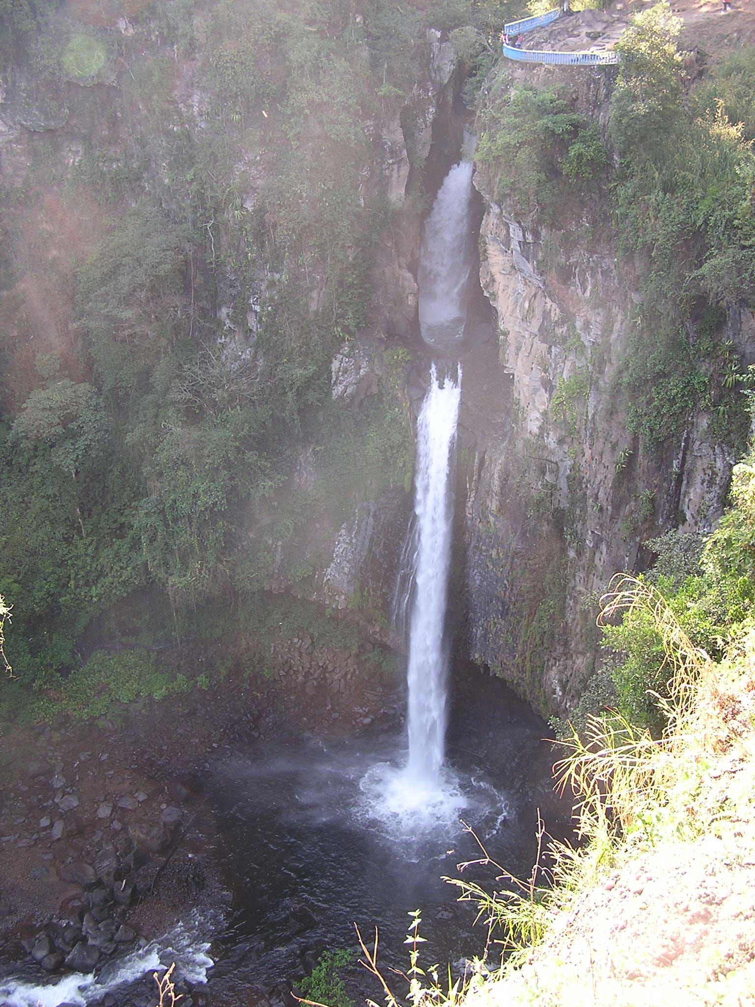
Site # 3, State: Veracruz. Municipality: Ixhuacan de los Reyes. Locality: waterfall ca. 2.8 km SE of village of Ixhuacan, along the River; Vegetation: Platanus mexicana and small deciduous trees and rocks, near the river. Elevation: ca. 5140 ft. 19°20.494'N, 97°05.749'W
| 
| |
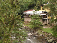
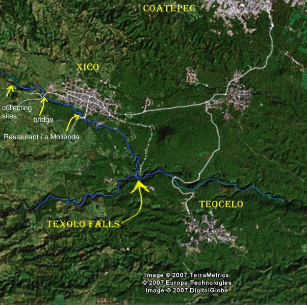
FT2 Texolo Falls. Thursday. 16 August 2007 | ||
Between Xico and Teocelo, these falls provide moisture all year allowing a mixture of temperate and tropical bryophyte cover. The river drains from Cofre de Perote east across this rich volcanic land that produces fine high elevation coffee.
We traveled by bus to three collecting localities nearby Xico.
Locality data for herbarium specimens map
Site #1, State: Veracruz. Municipality: Xico. Locality: Hills south of Xico, near restaurant La Molienda. South of the Coyopolan River. Vegetation: Coffee plantation, with Inga and Musa and ocks and small trees along a roadcut. Elevation: 4290 ft. 19°25.016'N, 97°00.731'W
Site # 2, State: Veracruz. Municipality: Xico. Locality: Hills west of Xico, near Pextlan bridge, side of road to Tlacuilolan and Coatitlan. Vegetation: Trail along and above the Coyopolan River; a) beginning of path: Elevation: 4450 ft. 19°25.543'N, 97°01.456'W b) near cabin along river Elevation: 4460 ft. 19°25.575N, 97°01.522'W
Site #3, State: Veracruz. Municipality: Xico. Locality: southeast of Xico, Texolo Falls. Vegetation: Elevation: 1000 m asl Lat 19 24 13 N, Long 96 59 38 W
| 
| |
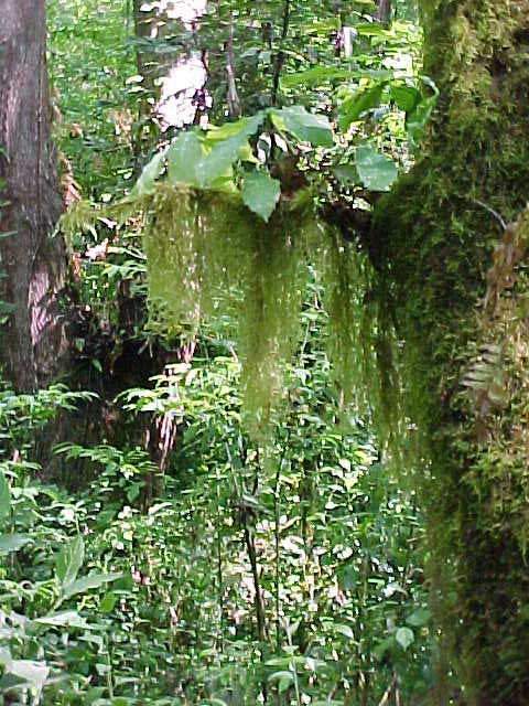
FT3. Santuario Bosque de Niebla. Thursday. |
| |
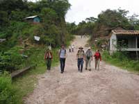
Hike along a trail loop in a piece of land owned by INECOL and part of a conservation program. This is an old abandoned coffee plantation with good portions of regenerated cloud forest.
We traveled by car to INECOL parking lot.
Locality data for herbarium specimens
State: Veracruz. Municipality: Xalapa. Locality: Santuario Bosque de Niebla, northeast of Instituto de Ecologia Vegetation: Hills with oaks and Liquidambar Elevation: 100 m asl Lat 19 30 30 N, Long 96 56 57 W
|  | |
| Map for Field Trips | ||
| ||
Contact Travel Info Xalapa Maps Recommended Lodging Editor: E. De Luna, Last updated: Aug 22, 2007 | ||